Data in the Right Hands
How four years of field research came back to the communities that made it possible
Returning Research to the People Who Live It
“Instead of taking this data with us and sitting it in a drawer, [let’s] share it, [let’s] use it, [let’s] explain it, [let’s] put it into the hands of the people who need it.” That commitment, offered by a participant at the close of the April 7 workshop in Beaumont, was not a conclusion handed down from a research team. It was something participants said to each other.
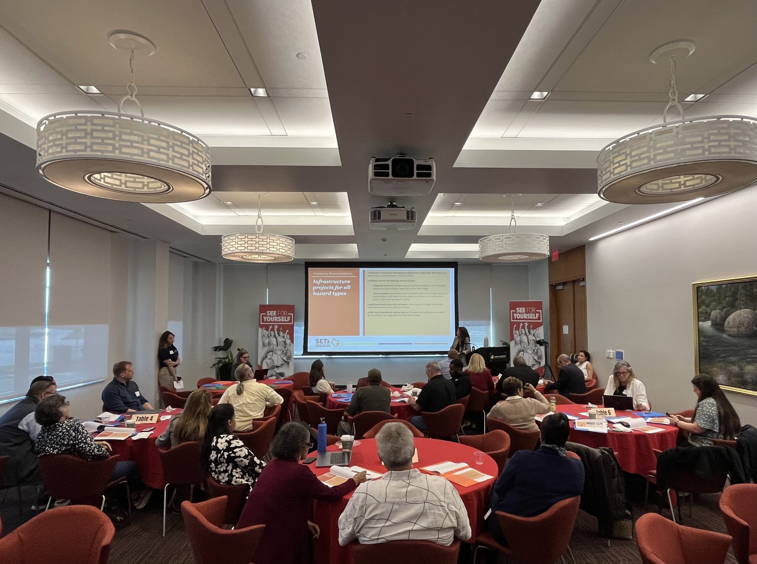
The Southeast Texas Urban Integrated Field Laboratory (SETx-UIFL) is a Department of Energy-funded initiative spanning the University of Texas at Austin, Lamar University, Texas A&M University, Prairie View A&M University, Oak Ridge National Laboratory, and Los Alamos National Laboratory. Over four years, researchers across these institutions have studied air quality, flooding, extreme heat, ecosystem health, and the social dimensions of environmental vulnerability across Southeast Texas, one of the most economically vital and environmentally complex regions in the country. The April workshop brought those findings back to the region where the data was gathered, to approximately 20 attendees including municipal planners, emergency managers, healthcare administrators, green infrastructure practitioners, community educators, nonprofit housing advocates, elected officials, and residents.
A Collaboration Built on Community Trust
The SETx-UIFL did not arrive in Southeast Texas with pre-formed questions. From the beginning, the project operated through a community co-design framework, working with a task force of local leaders who guided which problems deserved scientific attention and helped the research team understand what residents already knew from living it.
Task force members connected researchers to schools, neighborhoods, drainage districts, faith communities, and civic networks. They participated in pop-up activities and community surveys across Port Arthur. They helped students in landscape architecture programs understand local conditions. They were present throughout: not as data sources but as intellectual partners who made the science more accurate and more useful.
At the close of the April workshop, the project formally honored several community task force members for their sustained contributions across the life of the project. Their involvement represents the kind of long-term institutional partnership that makes community-engaged research different from research that simply visits a community to collect data and leaves.
Participants at the workshop offered their own accounting of how decisions made over decades have shaped current vulnerability: Port Arthur did not receive a flood insurance rate map until 1984, and that map remains in use today; fill dirt was imported from outside the area for decades before being prohibited; city councils have at times resisted corrective action on known risks. The participants who named these patterns live with their consequences, and they were naming them as context for why credible, independent data matters now.
When participants described the research data as confirming what they had already experienced, that framing carries weight on its own terms. They have watched floodwaters rise in neighborhoods that official maps do not designate as flood zones. They can smell the paper mill and know when a flare is burning. Having data that reflects what they already know gives them something they can take into rooms where decisions get made, in a form that is harder to dismiss.
The Science of Living Here
The workshop opened with research presentations covering findings produced over four years. Teams presented on air quality, flooding, extreme heat, ecosystem and marsh health, and the social vulnerability patterns that shape which communities carry the heaviest burden when any of these systems fails. The data was calibrated to Southeast Texas conditions, drawn from monitoring networks and sensor placements across the region, and organized through facilitated table discussions that followed the presentations.
Flooding and Water Modeling
The project produced detailed hydrological modeling covering flood risk across the region, including areas outside the Special Flood Hazard Area that experience repetitive flood losses. The modeling moves beyond existing official maps, which in some jurisdictions remain in hard-copy format and predate digital resources, to offer spatially precise projections of flood extent and depth under a range of storm scenarios. Discussion following the presentation explored how this data could support planning decisions and map revision processes.
Air Quality and Indoor Pollution
Research documented air quality conditions across the region, including near the industrial corridor between Beaumont and Port Arthur. Findings addressed both outdoor emissions and indoor air quality, with particular attention to a dynamic specific to this region: because extreme heat keeps windows closed for most of the year, residents have reduced ventilation as a strategy against outdoor pollution, which in turn allows indoor sources of pollution to accumulate. The combination of outdoor industrial emissions and confined indoor environments, in a high-humidity climate, shapes exposure in ways that go beyond what either factor produces alone.
Extreme Heat and Climate Projections
Researchers presented climate projections covering near-term and longer-term changes in daily temperature extremes, humidity, wind speed, and precipitation patterns. A publicly accessible climate data cookbook was developed to allow community members and local officials to query this information without requiring technical expertise, generating and downloading localized maps they could bring into planning meetings or conversations with elected officials.
Ecosystem and Marsh Health
Research examined marsh and wetland health across the region, with findings on the effects of dredging practices on ecosystem function. The work also considered emerging land use changes, including large-scale solar development and tree removal, and their implications for hydrology and water quality. These ecosystem dimensions are treated within the project as directly connected to flood dynamics and community resilience rather than as separate environmental concerns.
Social Vulnerability
The project applied multiple Social Vulnerability Index measures rather than a single metric to map compounding disadvantages across the region. This approach surfaces the layered nature of vulnerability: fence-line communities, residents in the floodplain without resources to relocate or retrofit, older adults, and households without reliable transportation each face distinct risk profiles that interact with flooding, heat, and air quality in different ways. Ongoing work continues to cross-reference vulnerability indicators with flood modeling and air quality data to produce spatially integrated risk assessments.
Interdependencies Across Hazards
One of the clearest requests from participants was for more explicit explanations of how these research themes connect to one another. Flooding, air quality, heat, and social vulnerability do not operate in isolation. A flood damages a home; heat and moisture then produce mold; mold can render the structure uninhabitable; losing housing destabilizes the household and the neighborhood. Decision-makers focused on a single issue often miss the system of which that issue is a part, and participants wanted tools to communicate those connections more directly.
What Participants Brought to the Table
Following the presentations, participants moved into facilitated small-group discussions at tables across the room, with notetakers at each table capturing the conversation. Discussions were structured to move from initial reactions through questions about clarity and opportunity, and finally toward alignment with participants’ own work and commitments they could make that day. Several themes emerged across the tables.
The data matched lived experience, and that shaped how people used it
Participants arrived at the workshop already knowing that flooding is severe, that industrial air pollution is part of daily life, and that some neighborhoods carry far more of that burden than others. What the research provided was a scientific form for what they had been experiencing, and that form changed what they could do with the knowledge. Several participants described the experience of seeing their specific conditions reflected in mapped data, modeled projections, and published findings as something that shifted the conversation they could have with officials and decision-makers. One noted that having everything in one data set meant they could finally walk into a room and show rather than just describe. Another said the data confirmed how vital the information was going into hurricane season, and that being proactive rather than reactive depended on having exactly this kind of resource in hand.
Indoor air quality opened a new conversation
Participants were well aware that outdoor air quality is a daily reality in Southeast Texas: the paper mill, the industrial flares, the proximity to the chemical corridor are not abstractions. What the research introduced was a dimension they had not fully considered: that closing windows against outdoor pollution, which residents do for most of the year because of heat, reduces ventilation and allows indoor pollution sources to accumulate. Rather than offering protection, the closed-building strategy can compound exposure. Several participants connected this to choices they had already made at home, and the conversation moved toward what households can actually do with that information.
Data needs to move, not sit
Across the tables, participants returned to the same concern: research only matters if it reaches the people and institutions that can act on it. The risk of putting findings “on a shelf” came up more than once. Participants were thinking actively about channels: which city council members to approach, which commission meetings to attend, which funding applications could now be strengthened with quantified risk data, which neighbors did not have the information they needed and needed someone to bring it to them. That orientation shaped the commitments documented at the end of the session.
The neighborhood scale is where action becomes possible
Regional findings inform policy. Findings at the neighborhood scale change what residents and local officials can do. Across multiple tables, participants asked for data at finer geographic resolution: one-pagers organized by neighborhood, flood risk information specific to a particular street or subdivision, air quality monitoring tied to a specific community rather than averaged across a county. Participants described this level of specificity as the threshold where data stops being abstract and starts making a practical difference in conversations with neighbors, council members, and commissioners.
Early warning systems have room to grow
The Southeast Texas Alerting Network (STAN) came up at several tables as a resource with unrealized potential. Participants noted that alert fatigue, the erosion of urgency that comes from repeated warnings that do not result in significant harm, is a genuine barrier to emergency preparedness. Proposals included better geographic targeting of alerts and using STAN as a channel for air quality and industrial incident notifications, not only storm warnings.
Seniors, homeowners, and the social fabric of neighborhoods
Participants across tables brought consistent attention to the specific vulnerabilities of older residents and longtime homeowners, particularly in communities still carrying the physical and economic damage from Harvey and Imelda. The framing that emerged was simple and direct: rooftops make community. When homes are lost, when residents leave because rebuilding is not possible, the social networks that help people prepare for and recover from disasters weaken. Supporting older adults and long-term homeowners is not only a matter of individual welfare. It is a structural requirement for community resilience. Participants discussed the gap in funding mechanisms for home elevation and electrical retrofitting in lower-income neighborhoods, naming specific areas in Beaumont and Port Arthur where residents live in homes that cannot withstand another major flood but have nowhere to go and no pathway to make the changes that would protect them.
How Participants Plan to Use the Research
As the discussions drew to a close, participants talked through how they planned to use the research in their own work and communities. The commitments that emerged were theirs, directed toward the people and places they serve. What follows reflects what came up across the tables.
| Sector / Role | Commitment |
|---|---|
| Coastal and green infrastructure | Incorporate SETx-UIFL data into workshops already conducted with elected officials; make findings a regular part of meetings with city councils |
| Municipal grants and community services | Work toward understanding what the data means operationally for specific communities; use findings to support funding applications and community resource navigation |
| Community education and outreach | Advance a comprehensive cross-generational education approach; support university involvement in training components to protect evidence-based programming |
| Infrastructure and monitoring | Add flood sensors to the regional monitoring network |
| City of Beaumont planning | Bring SETx-UIFL data to the city planning department for incorporation into the comprehensive plan resilience component, currently in active revision |
| Local government, infrastructure and drainage | Pursue state and federal infrastructure funding using SETx-UIFL data to support applications through the Drainage District; use available commissioner channels to push for increased investment |
| Policy and elected official liaison | Ensure research findings reach elected policymakers and that they understand what is at stake for constituents in Southeast Texas |
| Workshop participants broadly | Spread SETx-UIFL data and findings to all available resources and networks; share the research with neighbors and ensure it reaches people who need it rather than sitting unused |
Leaving More Than a Presentation Behind
The workshop was designed to give participants something they could actually use when they left the room. Every attendee received a set of research one-pagers, one for each project theme, written as accessible entry points to a larger body of work. Each one-pager includes a direct researcher contact for those who want to go deeper. The one-pagers were also distributed on a USB drive along with the full set of project materials: an eight-episode podcast series covering each research team’s work and featuring interviews with community task force members, the climate data cookbook for exploring future weather projections without technical expertise, datasets, and publications organized by theme.
The USB drive also contains an integrated webpage designed to help participants navigate all of these materials and to stay current as new outputs are added. The intent is that the USB is not a snapshot but a point of ongoing connection: as publications, data products, and other materials continue to come out of the project, participants can access them through the same interface they received at the workshop.
All agenda items, one-pager summaries, dataset links, and other supporting materials from the day are available at the workshop materials page.
Researchers were present to demonstrate the tools. Geeta Persad, climate researcher walked attendees through the cookbook interface, showing how county-level projections for temperature, humidity, wind, and rainfall across multiple future time periods could be pulled up, mapped, and downloaded without any technical background. The design intent was explicit: the data should be able to walk into a room on its own.
“One of the biggest rewarding aspects of this project for me was hoping that the data we’re producing can be something you all can pick up and walk into your city council member’s office and show them data that can help you advocate for the things you know you need.”
SETx-UIFL researcher, end-of-workshop demonstrationWhat Comes After a Workshop Like This
The April 7 workshop was not a conclusion. It was a transition point in a relationship between a research program and the communities that gave it meaning.
Work on the monitoring infrastructure continues. The sensor network that has tracked air and water conditions across the region is being maintained and expanded, with new placements in marsh environments ongoing. The project is also exploring how the research can be featured more broadly: in media coverage, in presentations to regional chambers of commerce, in briefings with state legislators, and through the community organizations that were in the room.
One participant offered a framing worth repeating: Southeast Texas is taking these problems seriously in a way that is genuinely unusual, and the region has the potential to serve as a model for communities across the Gulf Coast. That reflects what the project has observed over four years: people who carry data into their organizations, show up to workshops because the information matters for work they are already doing, and who do not wait for problems to be solved for them. That quality of engagement is what makes a field laboratory something more than a data collection exercise.
The Research Belongs to This Region
If you attended the April 7 workshop, we want to hear what you did with the data. If you did not attend and would like access to research findings, one-pagers, the podcast series, or the climate data cookbook, contact the SETx-UIFL team directly. The findings are designed to be shared and used, not archived.
Visit the SETx-UIFL Website